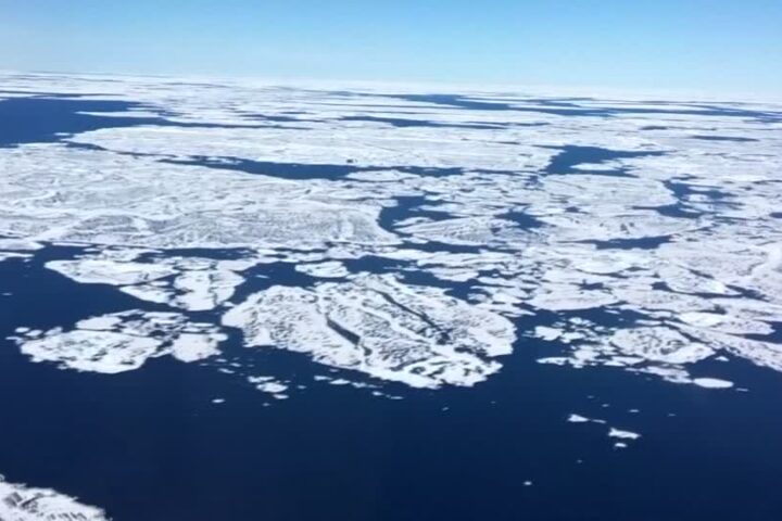
Satellite images help scientists predict sea level rises
A new NASA-funded database of satellite images and data allows scientists to more accurately predict sea level rises by tracking the velocity of glaciers and ice sheets in near real-time.…


